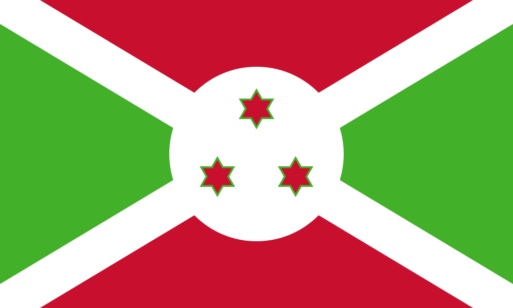
City of Gitega
Burundi · Africa
Key facts
- Population
- 252,082
- INSBU projection for 2023, based on the 2008 census; administrative unit is Gitega commune
- 2008 census: 155,005 people, of which 41,944 urban
- Area
- 315.4 km²
- Whole Gitega commune, including rural land around the urban core, 31,544 ha
- Density: 799.1 per km² (2023 projection)
- Time zone
- UTC+2
- Central Africa Time, no daylight saving time
- Official language
- Kirundi
- Kirundi is the national and an official language; other official languages are set by law
- Currency
- Burundi franc
- BIF
Gitega is a city in Burundi with 252,082 residents (INSBU projection for 2023, based on the 2008 census; administrative unit is Gitega commune). The warmest month averages a high of 27.1 °C; 1,179 mm of rain a year.
Climate
1961–1990 climate normals for the Gitega (WMO World Weather Information Service, IGEBU) station. Orange bars are the average daily high, blue bars the average daily low; the lower bars show rainfall.
| Jan | Feb | Mar | Apr | May | Jun | Jul | Aug | Sep | Oct | Nov | Dec | Year | |
|---|---|---|---|---|---|---|---|---|---|---|---|---|---|
| Average high (°C) | 25.2 | 25.5 | 23.3 | 24.9 | 24.8 | 25.2 | 25.9 | 26.8 | 27.1 | 26.4 | 24.9 | 24.8 | 25.4 |
| Average low (°C) | 13.8 | 13.7 | 13.8 | 14.3 | 13.6 | 11.6 | 10.5 | 11.6 | 12.7 | 13.4 | 13.6 | 13.5 | 13.0 |
| Rainfall (mm) | 157.5 | 146.6 | 163.6 | 169.2 | 76.3 | 5.6 | 4.4 | 9.2 | 52.5 | 100.4 | 148.9 | 145.2 | 1,179.4 |
1961–1990 normals supplied by IGEBU to the WMO; no 1991–2020 normals could be read from an official source. Monthly mean temperature is not published, so it is omitted. Station elevation is not given by this source. Annual rainfall is the sum of the 12 months; annual temperatures are the mean of the 12 months.
Frequently asked questions about Gitega
What is the population of Gitega?
Gitega has 252,082 residents (INSBU projection for 2023, based on the 2008 census; administrative unit is Gitega commune).
How many people live in Gitega?
INSBU's 2023 projection puts Gitega commune at 252,082 people. At the 2008 census it was 155,005.
How large is Gitega?
Gitega commune covers 315.4 km², a density of about 799.1 per km² on the 2023 projection.
What time zone is Gitega in?
UTC+2, with no daylight saving time.
Is Gitega hot or cool?
On 1961–1990 data, average highs range from 23.3 °C (March) to 27.1 °C (September) and lows from 10.5 °C (July) to 14.3 °C (April). June to August is clearly dry.
What is the climate like in Gitega?
Based on the 1961–1990 climate normals, the warmest month is Sep with an average high of 27.1 °C. The wettest month is Apr (169.2 mm). Annual rainfall is 1,179.4 mm.
Where does the data on this page come from?
Every figure comes from a statistical office, meteorological service, operator or international body; the source of each figure is listed on the Gitega sources page.
What the profile contains
- Population, area, climate and infrastructure from government bodies
- Home prices, rents, earnings, living costs and safety for the city
Source of every figure
- Each figure names the body, the period and the original link
- No aggregator or open-encyclopedia sites
Method
- City figures refer to the municipality unless marked as the metropolitan area
- No estimates: missing figures are left blank